
Columbus ZIP Directory Coverage
Six principal ZIP areas are labeled on an official Columbus Consolidated Government map. The evidence supports broad geographic descriptions, not exact neighborhood or post-office-station claims. Fort Moore has a separate institutional relationship, while several nearby 318 ZIP Code Tabulation Areas appear in Census place searches and require a USPS test before they are called Columbus postal routes.
| ZIP | Areas Covered | Postal Relationship | Notes |
|---|---|---|---|
| 31901 | Central Columbus | CCG map label | Station name not verified |
| 31903 | South Columbus | CCG map label | Near installation and county edge |
| 31904 | North and riverside Columbus | CCG map label | Exact neighborhood limits vary |
| 31906 | MidTown and east-central Columbus | CCG map label | Postal line is not a district line |
| 31907 | East Columbus | CCG map label | Verify each address |
| 31909 | North and northeast Columbus | CCG map label | Growth-area geography |
| 31905 | Fort Moore | Census association | Federal installation |
| 31801, 31808, 31820, 31829 | Nearby county-edge or rural routes | Census place association | Use a USPS address test |
The Columbus ZIP code directory should be read as a verified routing aid. It does not claim that every address inside a shaded postal area receives the same city services. Columbus and Muscogee County consolidated in 1971, yet General and Urban Service Districts, Fort Moore, and cross-river Phenix City remain distinct parts of the local geography.
Verify a Columbus ZIP Address
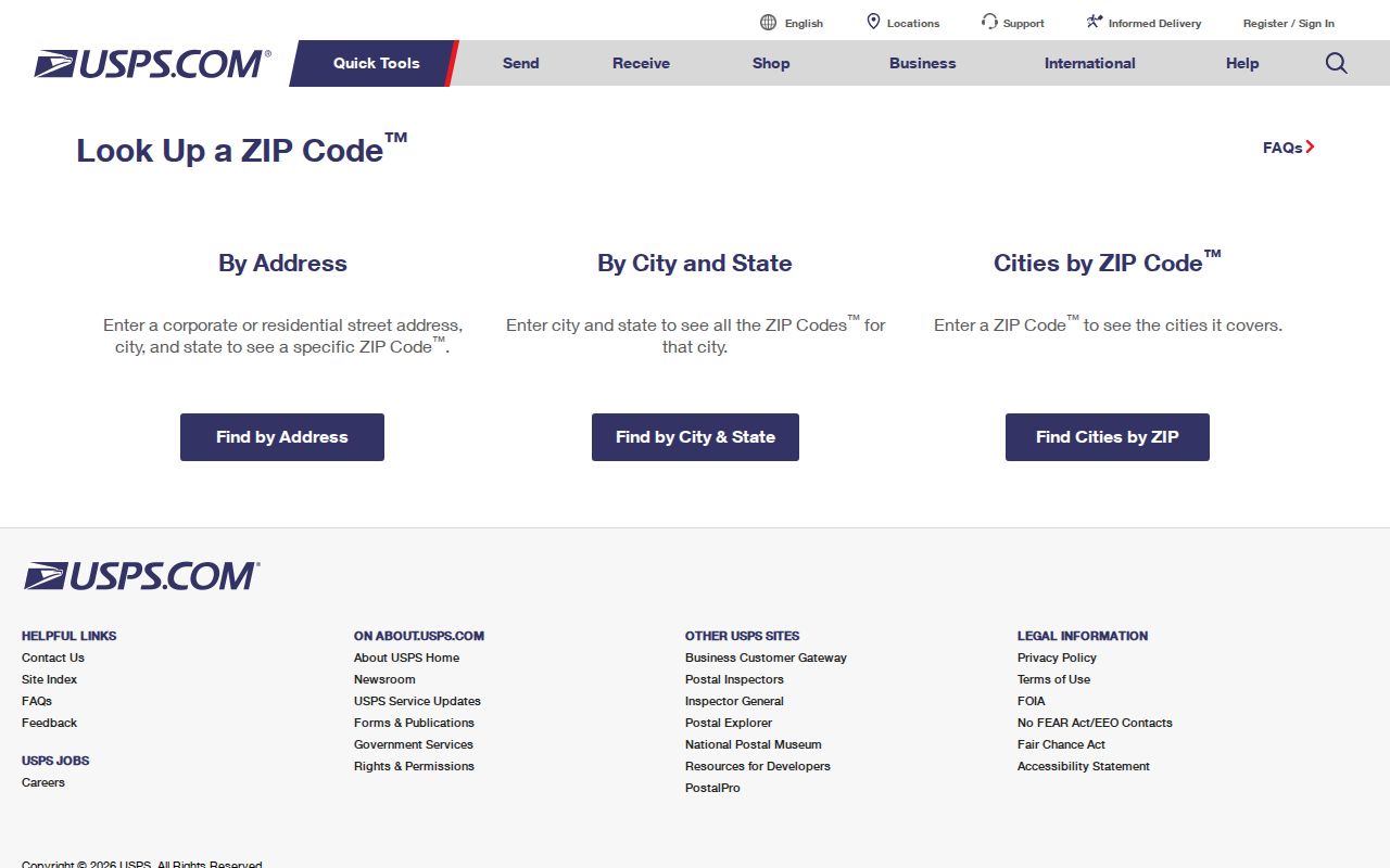
The USPS ZIP Code Lookup is the authority for testing one mailing address. It offers By Address, By City and State, and Cities by ZIP modes. Use it before filtering any local roll, especially when a nearby 318 route appears in a Census result or a “Columbus” mailing label seems to fall near a service boundary.
| USPS field | Requirement or use |
|---|---|
| Company | Optional |
| Street Address | Required for an address test |
| Apt / Suite / Other | Optional secondary unit |
| City | Enter postal city |
| State | Select Georgia |
| ZIP | Enter when known or let the address mode find it |
The official lookup is visible at the linked USPS source.
A successful result verifies postal formatting and routing. It does not prove that a named person or business occupies the address, a key limit for any ZIP code directory search.
Find Columbus Residents by ZIP
A ZIP-wide resident search needs a lawful dataset that actually carries a ZIP field. Do not assume that an advanced-search button supports a ZIP filter. The CCG assessor portal advertises owner, parcel, address, advanced, and map modes, but its exact ZIP filter could not be verified while the site was under maintenance. When a filter is absent, verify one address at a time or ask the custodian whether an export is available.
- Check the complete address in USPS Lookup. Save the standardized city, state, ZIP, and any unit detail.
- Search the CCG property roll or GIS by that address. Record the parcel, situs address, mailing-address distinction, and jurisdiction.
- If lawful bulk research is needed, confirm with the assessor or Elections office that the released file contains ZIP. Never infer named residents from Census totals.
- Sort only the authorized fields, then verify each possible person against a separate dated record. Protected voter addresses and restricted data stay excluded.
- Once the result narrows to a named road, use the Columbus street directory workflow for street-level parcel and deed work.
Georgia My Voter Page is not a ZIP browser. It requires one voter’s first initial, surname, date of birth, and county. A lawfully obtained voter file can include residence ZIP, precinct, and districts, but protected data and protected addresses remain withheld. Commercial use is prohibited.
Check Columbus Property Geography
The assessor and GIS supply the geographic check that USPS cannot. A situs address identifies the taxed land or building. A mailing address is where notices go and may belong somewhere else. The legal description fixes land through subdivision, unit, block, lot, plat, or metes and bounds. ZIP identifies mail routing. Keeping all four fields separate prevents a postal label from being mistaken for title or occupancy evidence.
The Muscogee County Board of Assessors contact page provides the official office route when portal fields or coverage are unclear.
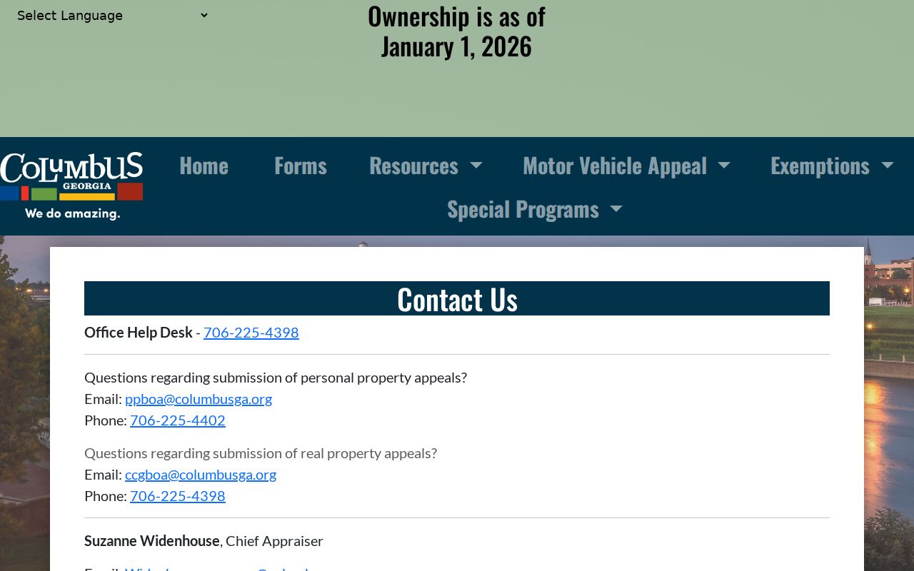
Counter staff can explain the current roll and search modes, while Engineering GIS handles address and street assignment and Tax Assessors GIS maintains cadastral parcels.
The planned 1828 downtown grid and later northward growth also affect how records are searched. Older central areas have deeper directory and Sanborn coverage. Newer northern and northwestern areas rely more on current assessor, GIS, and permit evidence. ZIP boundaries reflect delivery, not those eras of development.
Columbus ZIPs Versus City Limits
USPS ZIP Codes are collections of delivery points. Census ZCTAs are generalized polygons made to analyze those routes. Neither is the legal boundary of Columbus. The consolidated city-county structure reduces local-office confusion, but it does not make every postal “Columbus” address part of the same service district. Fort Moore’s 31905 geography is the clearest caution: it is a federal installation immediately south of the city’s ordinary civic geography.
- ZIP Code
- A USPS routing code assigned to delivery points, not a legal district.
- ZIP+4
- An added four digits that refine delivery to a smaller segment, building, or group of boxes.
- PO-box ZIP
- A ZIP used for post-office boxes rather than a broad street-delivery area.
- Unique ZIP
- A code assigned to one large institution or recipient when mail volume warrants it.
- Carrier route
- The set of delivery points served by one postal carrier route.
Boundary check. Use USPS for mail, assessor and GIS for parcels, and the responsible government office for service or jurisdiction questions.
Columbus ZIPs and Neighborhood Names
Neighborhoods and ZIP areas overlap without matching. Official planning material names MidTown, the Mill District, Liberty District and Southside, Wynnton, Avondale Heights, Bibb City, and Uptown. Those names describe history and community, while a ZIP supports delivery. MidTown Inc. describes 18 neighborhoods and six National Register districts, but it does not publish a roster of residents.
The MidTown neighborhood resource shows how community boundaries and association work sit on top of postal geography.
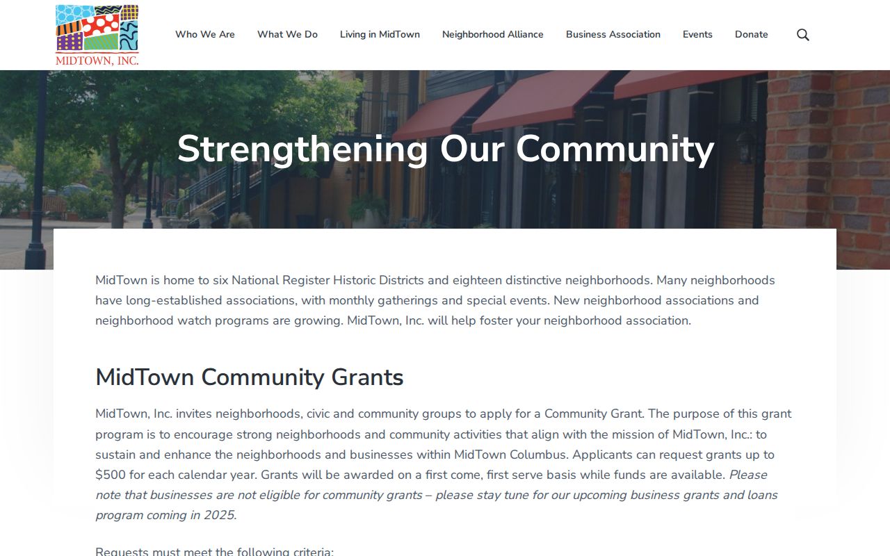
This community layer gives context to addresses in and around 31906, but it should not be used as a substitute for USPS verification or parcel records.
Development history helps explain the broad pattern. Older growth clustered around the river, downtown grid, Wynnton, and MidTown. Later growth moved north and northwest into the Panhandle. Fort Moore constrained patterns to the south and east. Postal routes adapted to those changes, but no verified official ZIP split or realignment year was found, so none should be inferred.
Match Columbus ZIP Record Types
Different custodians use ZIP for different jobs. The property roll may show a situs ZIP and a separate owner mailing ZIP. A deed uses a legal description as its durable land key. A voter file may carry residence ZIP plus precinct and district. Census tables summarize ZCTAs but do not name occupants. USPS confirms mail routing and explicitly does not confirm occupancy.
| Source | ZIP Use | Best For | Main Limit |
|---|---|---|---|
| USPS Lookup | Delivery validation | Standardizing one address | No occupancy proof |
| CCG assessor | Property and mailing fields | Parcel-owner lead | Owner may live elsewhere |
| CCG GIS | Map context | Parcel and jurisdiction check | Exact ZIP layer unverified |
| Lawful voter file | Residence ZIP | Registered-voter sorting | Not all residents; use limits |
| Census ZCTA | Statistical polygon | Aggregate context | Not mailability or identity |
A solid Columbus ZIP code directory search records which meaning of ZIP each source uses. That small note prevents a mailing address, parcel address, and statistical area from being merged into one false location claim.
Resolve Columbus ZIP Uncertainty
When a portal does not expose the needed field, use the office that owns the geography. Engineering GIS handles addresses and streets at 706-225-3977. Tax Assessors GIS handles cadastral parcels at 706-225-3954. Planning and the Clerk handle plats. The Board of Assessors can explain owner, parcel, address, advanced, and map search modes. USPS remains the source for a deliverable postal result.
Ask a narrow question: whether the exact address is valid, which parcel it points to, whether the roll stores a ZIP field, and whether a lawful export is available. Do not turn the oldest portal hit into a coverage date or invent an unverified post-office station. Nearby 31801, 31808, 31820, and 31829 results remain address-test candidates, not automatic Columbus ZIPs.
Note: The Columbus ZIP code directory narrows geography; the dated custodian record still determines what a name or parcel fact proves.