
Columbus Neighbors by Record
No official source lists every person on a Columbus block. Instead, each custodian answers a limited question. GIS establishes which parcels adjoin the starting lot. The assessor identifies recorded owners and property facts. Deeds and plats explain title and subdivision ties. A lawfully obtained voter file covers registered voters, while a historic street guide freezes one earlier year. Community groups describe neighborhood connections without publishing a membership roster.
| Block source | Evidence around an address | Access and limit |
|---|---|---|
| CCG GIS | Parcel boundaries and IDs | Free map gallery; exact tools unverified |
| Assessor cards | Owners and property facts | Free portal; owner does not equal occupant |
| Deeds and plats | Title and subdivision links | Index, Clerk counter, and recorded books |
| Lawful voter file | Registered voters, precinct, and districts | Restricted fields and use; incomplete population |
| Walsh street guide | Occupants, firms, and vacancies in 1898-99 | Free scan and OCR; verify the image |
| MidTown associations | Organization and contact layer | No member roster stated |
Choose the source that fits the question. A boundary question belongs in GIS. A title question belongs in deeds. Who actually lives next door may not be public at all, especially when a parcel is not owner-occupied or an address is protected.
Map a Columbus Block
The Columbus Consolidated Government GIS is the official map gateway. Its documented work includes aerial imagery, streets, new subdivisions, zoning, and cadastral parcels. A cadastre is the mapped parcel system used for land records. The precise click, buffer, measure, and export controls were not available for inspection, so do not promise a feature that the live viewer may not show.
- Locate the target by address or parcel, then zoom until individual parcel lines are visible.
- Capture the parcel ID for the target and each polygon that directly touches it.
- Open those parcel IDs in the assessor record. Compare property address, owner, and mailing address.
- Use plats or deeds when a shared subdivision, easement, or unclear line needs proof.
- Move to the Columbus street directory only when the task expands beyond the immediate block.
Read mailing and property addresses with care. A mailing address tells where a tax notice goes. It may differ from the land, and neither field proves that the owner is one of the current Columbus neighbors.
Different CCG offices maintain different parts of the map. IT handles aerial imagery and public maps, Engineering manages addresses and streets, Planning covers zoning and related districts, and Tax Assessors maintains cadastral parcels. If the public viewer fails, call the office that owns the missing layer. A written Georgia Open Records Act request can seek an existing map or dataset, but an agency does not have to create a new block report.
Compare Columbus Parcel Owners
The assessor supports owner, parcel, address, advanced, and map search modes. A detailed record may show owner, square footage, land and improvement values, assessment, tax profile, and sales history. Homestead information can support owner occupancy as of a qualification date, but it still does not enumerate everyone in the home.
Use this compact flow: address to GIS parcel, parcel to assessor card, owner to deed, then deed to plat. Keep the source date beside every name. If the purpose is simply to greet new Columbus neighbors, a public meeting or association contact is often more current and less intrusive than assembling dated records.
A plat is the recorded drawing that lays out lots, streets, and common areas in a subdivision. It can explain why two parcels share an access strip or why a modern fence does not follow the apparent line on an aerial photo. The deed is still needed to establish a recorded interest. For a dispute, use the Clerk's recorded copy and qualified professional help rather than a screen measurement.
Columbus Voters on a Block
Georgia My Voter Page is a personal lookup, not a block browser. It requires first initial, last name, date of birth, and county. A lawfully ordered voter file may include an elector's name, residence and ZIP, status, precinct, district assignments, birth year, and date last voted. It excludes the month and day of birth, Social Security number, email, driver-license number, application location, and other protected data.
Georgia does not register voters by party. Election participation never reveals a ballot choice. A file can be sorted by street when obtained and used under state law, but it represents registered voters rather than all Columbus neighbors. Inactive status also does not prove a move. Confirm dates and never build or publish a block roster from protected or restricted data.
Note: VoteSafe and Safe at Home can remove a qualifying resident's true address from public-facing records, and that protection must be respected.
Columbus Neighborhood Connections
MidTown Inc. describes 18 neighborhoods and six National Register districts. It supports established and emerging associations and watch programs, and it offers grants of up to $500 per calendar year. That is an organization layer, not a directory of residents. It can identify a civic contact or meeting path without exposing household details.
MidTown Inc.
Association support across 18 neighborhoods and six historic districts. No resident roster is published.
Panhandle areas
A 2007 council record names Beaver Run, Chapel Lake, Liberty Hall, Upatoi, Country Walk, Midland Woods, and other component areas. Verify present status.
The Panhandle list is historical evidence only. Neighborhood lines and organizations change. Current contact should be checked with the group or city before relying on an old council record.
Local geography also affects how a block is described. Columbus and Muscogee County have shared a consolidated government since 1971, but Fort Moore and Phenix City remain distinct. Older directories may cross the Alabama line, while modern city services and land records do not. Confirm the jurisdiction before assuming that a familiar community name points to the same custodian.
Historic Columbus Neighbors
The 1898-99 Walsh directory contains a true street-number guide. It places occupants, firms, and vacancies between cross-street markers. That can reconstruct nearby residents for one historic year. OCR errors are common, and the segregated-era volume contains racial notation that needs context. Cite the scanned page, not just machine text.
Sanborn maps add building footprints, use, construction, doors, windows, water facilities, block numbers, and boundaries. They map structures rather than people. A directory name plus a matching numbered building is stronger than either source alone, but it remains dated evidence.
Official Columbus Neighbor Evidence
Official records and commercial neighbor tools serve different roles. Government sources name a custodian, carry a date, and let a reader request the underlying instrument. Commercial compilations merge public and purchased data. They can be stale, omit context, or join two people with similar names. They are leads, not authority.
| Choice | Strength | Key limit |
|---|---|---|
| Official parcel or deed | Named keeper and stable identifier | Usually proves ownership, not occupancy |
| Lawful voter record | Dated registration and district tie | Not every resident; protected fields excluded |
| Commercial compilation | May gather many leads | Can be stale, merged, or unsupported |
For Columbus neighbors, prefer the narrow official fact that answers the question. Avoid copying personal data into a new list.
Columbus Community Record Clues
Vital and cemetery records belong to a historical or family connection, not a current block roster. The Columbus cemetery database covers Linwood, Porterdale, East Porterdale, and Riverdale and is still a work in progress.
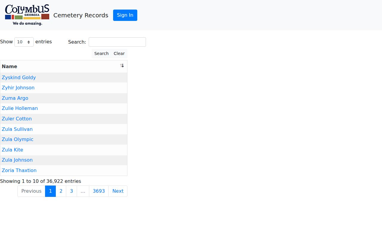
An interment can connect a historic neighbor to an obituary or probate file, but the marker and official record should still be checked.
The West Central Health District vital-record office handles Columbus birth and death certificates under Georgia eligibility rules.
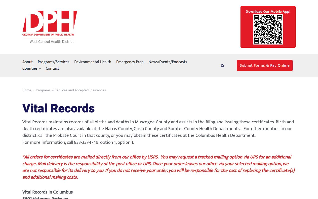
Its service information helps route a documented family request, not identify everyone near an address.
The Columbus Public Library can add newspapers, maps, census schedules, military material, court records, and staff reference help. Its genealogy room also offers in-library or affiliate access to databases that may reveal an older block. These sources are most useful after a name and approximate date have been established. They should not be used to infer a present household from a decades-old entry.
Verify Columbus Family Links
The Muscogee Probate Court marriage page explains local marriage copies. Marriage records can confirm a historical name link, while applications have tighter access rules.
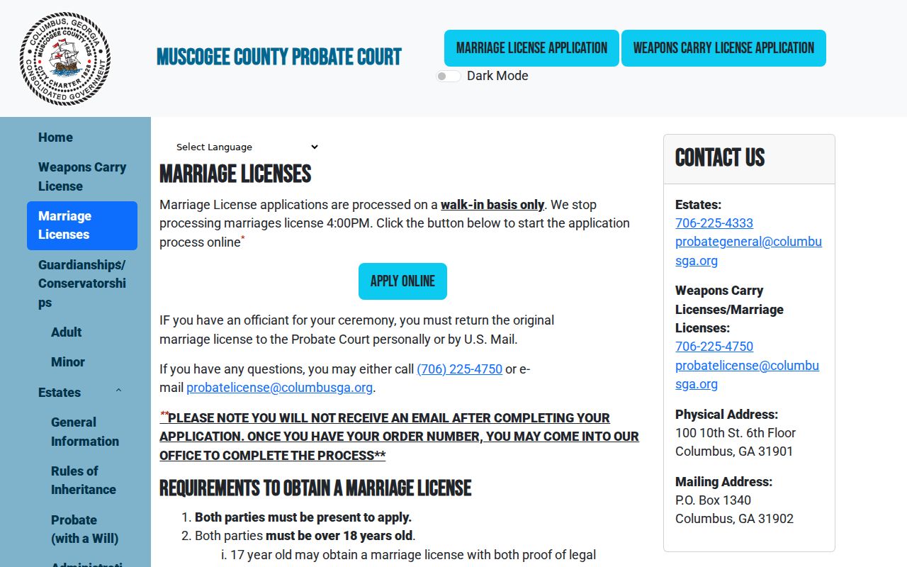
Route the request by event year and custodian rather than assuming an online index is the record itself.
Georgia's birth-record guidance states who may obtain a certificate and what proof is needed.
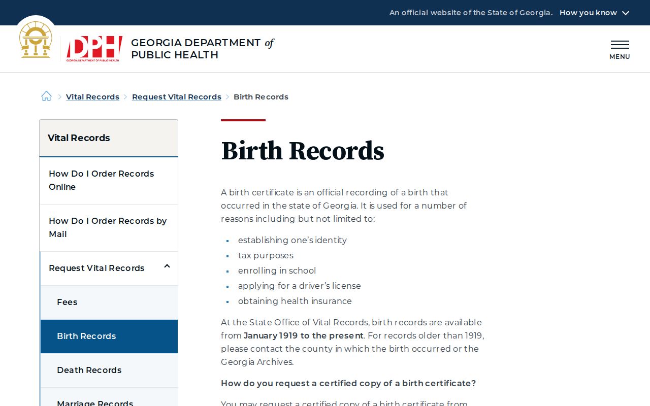
Birth certificates are not public directories. Use this channel only for a qualifying family or personal record request.
Protect Columbus Neighbors' Privacy
Public parcel cards do not identify every occupant. Utility subscriber data, delivery data, and DMV addresses are not open block directories. Safe at Home supplies qualifying survivors with a substitute public-record address, while VoteSafe protects qualifying voter addresses. Never try to reverse-engineer either shield by matching records from several sources.
Personal safety and civic curiosity are valid reasons to consult a narrow public fact. Watching, threatening, or harassing someone is not. Georgia stalking and harassing-communications laws apply even when a starting fact came from a public record.
Lawful use. Respect protected addresses and personal boundaries when researching Columbus neighbors; never use records to watch, intimidate, or harass anyone.