
Walk a Columbus Street by Address
The soundest Columbus street directory search begins with one exact address and expands only after the parcel is clear. The consolidated city-county government keeps the assessor, deed recorder, permits office, and local GIS within one Muscogee records geography. That makes the handoff between sources simpler. It does not make ownership the same as residence. The property roll identifies the assessed owner, while a deed fixes a dated transfer. Historical directories can name occupants in a particular year. Voter data has strict access and use limits, and the public My Voter Page is built for one voter's own check, not for browsing a street.
- Enter the street number and name in the CCG Public Access Site. Save the parcel ID, situs address, current owner, legal description, and any sale book and page.
- Open the Columbus Consolidated Government GIS and find the same parcel. Click nearby parcels only when the goal is a lawful block or boundary check.
- Compare the owner mailing address with the situs. A different mailing address may point to an absentee owner, but neither field proves who occupies the home.
- Carry the book/page or subdivision, block, and lot into the Muscogee real-estate index. Follow each buyer and seller through the deed chain.
- For an older household, use the library and digitized street guides, then check the page image against OCR. A past directory entry is dated evidence, not a claim about the present.
This sequence keeps each conclusion tied to its source. It also prevents a common error: merging the property owner, tax-mail recipient, voter, permit applicant, and directory occupant into one person without proof.
Search Columbus Property Addresses
The CCG Public Access Site address search is the first official stop when the number and street are known. Its navigation exposes Owner Search, Parcel Search, Address Search, Advanced Search, and Map Search. Exact field labels were unavailable while the portal was under maintenance, so do not assume that a wildcard, number range, or ZIP filter works. Use the mode that matches the fact in hand and test the known address.
| Search mode | Use it when | Record next |
|---|---|---|
| Address Search | Street number and name are known | Parcel, situs, owner, legal description |
| Owner Search | An assessed owner's name is known | Every matching parcel and mailing distinction |
| Parcel Search | A stable parcel ID is available | Values, physical facts, exemptions, sales |
| Advanced Search | More than one property fact is known | Applied filters and result limits |
| Map Search | The lot is easier to locate on a block | Adjacent parcel IDs and boundaries |
The assessor search screen shown here documents those available modes.
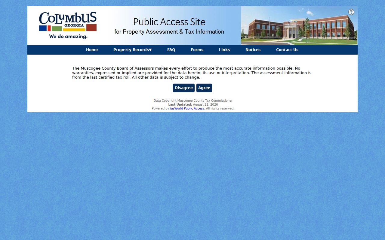
The screen is a discovery tool. The assessor warns that assessment data comes from the last certified roll, while other fields may change. Call the Board of Assessors at 706-225-4398 when a field is unclear or the site remains unavailable.
FY2024 operations maintained 82,509 ownership records and processed 4,915 permits. Those numbers show both the reach and the limits of an owner-based Columbus street directory: the roll is broad, but a property card still does not list each resident.
Columbus Street Records in Context
A useful street directory separates title, site, construction, and occupant evidence. Columbus and Muscogee County have shared a consolidated government since 1971, so many local records use the city and county names interchangeably. Fort Moore and Phenix City remain separate record areas. Check the custodian and jurisdiction before treating a nearby result as part of the same street.
| Record Set | Keeper | What It Shows | Access |
|---|---|---|---|
| Property roll | CCG Board of Assessors | Owner, situs, mailing address, parcel, values, sales | Free portal; office fallback |
| GIS parcel map | CCG GIS departments | Parcel boundaries, aerial context, street and subdivision geography | Free map gallery; phone fallback |
| Deeds and plats | Muscogee Superior Court Clerk | Dated buyers, sellers, legal description, recorded plan | Local/GSCCCA index; counter and copy request |
| Permits and code | Inspections & Code | Work type, applicant fields, cases tied to an address | Online intake/dashboard; department request |
| Historic street guide | CVL and Digital Library of Georgia | Numbered occupants, firms, vacancies, cross streets | Online images/OCR; library shelf |
The parcel number and legal description provide the strongest links. Street names and numbers can change, while a recorded subdivision, block, and lot can carry the search across those changes.
- Parcel
- A mapped unit of land identified for assessment. One mailing address can include more than one parcel.
- Situs address
- The physical address assigned to the land or building, distinct from the address where the owner receives mail.
- Plat
- A recorded map showing lots, blocks, streets, easements, and subdivision lines.
- Criss-cross directory
- A directory arranged by street and house number. The verified Walsh volume performs this task in its street guide.
Carry Columbus Lots into Deeds
The Muscogee County Clerk of Superior and State Courts records deeds, liens, plats, and real-estate UCCs. Start with the assessor's sale reference. In a deed, the grantor is the seller and the grantee is the buyer. To move backward, open the current purchase deed, then search that seller as a grantee in an earlier period. Repeat while the legal description remains consistent.
The Muscogee local real-estate index is shown below. Its dynamic form and online cutoff were not published in the inspected material, so an empty result should send the search to the clerk, not end it.
The Clerk's Real Estate Division is at 100 10th Street, second-floor tower, and keeps weekday counter hours from 8:30 a.m. to 5 p.m. Records/customer service is reached through 706-653-4358 option 1. Ask whether the year is indexed online, available on a public terminal, or held in an earlier book.
GSCCCA adds Real Estate Name, Book/Page, and Property modes. Property search can use county, subdivision, unit, block, and lot. That route is especially valuable after a Columbus street rename or realignment breaks a search based only on the current address.
Columbus Permits Mark Site Change
Permits add a dated physical layer to a Columbus address. The application inventory includes street address, lot, block, map, owner, architect or engineer, contractor, work type, proposed use, dimensions, and approval fields. Those entries can help date an addition, demolition, move, or repair. They identify applicants and project contacts, not a complete household.
The Columbus Inspections and Code page explains the office's permit, inspection, and enforcement role.
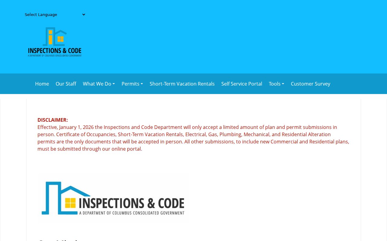
Beginning in 2026, major new plans and most submissions use the online route, while a defined set remains in person. Older issued permits may require a focused request to Inspections & Code at 420 10th Street or 706-225-4126.
The Property Maintenance dashboard presents demolition, maintenance, and special-enforcement cases tied to sites.
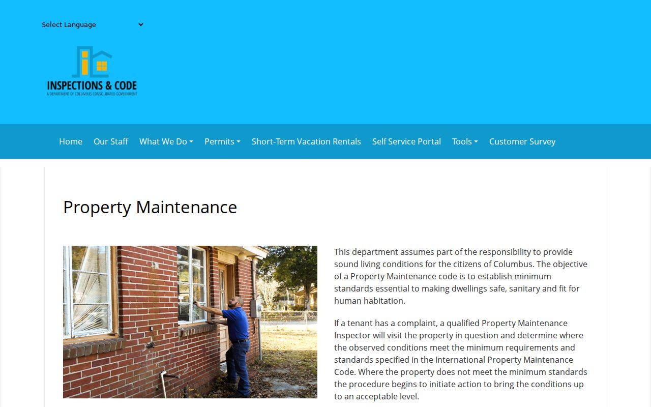
A dashboard case is evidence of an inquiry or enforcement step at an address. It does not establish who lived there or who caused the condition. Email Inspections@columbusga.org when the embedded map lacks the needed detail.
Columbus Street Names Can Shift
Columbus began as a planned grid surveyed in 1828, with numbered streets, avenues, blocks, and public squares. Later ordinances changed parts of that system. Ordinance 04-60 changed Boxwood Drive to Boxwood Boulevard and realigned or renamed portions of Hamilton, 19th, and Talbotton. A 2002 action renamed part of Franklin Drive as Adelaide Drive.
When an address vanishes from a deed or directory search, search the Clerk of Council's e-CAP records for both names. Then use the legal description and plat to test whether the land stayed the same. The rename itself may explain the gap.
Note: A street-name change can break text search without breaking the parcel or deed chain.
Columbus Streets in Walsh
The 1898-99 William H. Walsh directory includes a true street-number guide. Its headings describe route boundaries, then list cross streets, numbered occupants, businesses, and vacancies. Oak Alley entries show how an old volume can work as a reverse street directory even when the main alphabetical section starts with surnames.
Search the digitized Walsh directory by surname, address, and employer, but verify each OCR hit on the page image. Historical racial notation appears in this segregated-era volume and should be read in its period context, not treated as a modern neutral field. For the full shelf history, publishers, and year runs, use the Columbus city directory collection.
Sanborn maps for verified years from 1885 through 1923 can then add building footprints, use, construction, and house or block numbers. They map structures rather than residents.
Columbus Filing Alerts Add a Check
Property records can also protect a current owner from a false filing. FANS is the free, voluntary GSCCCA alert system for activity filed against a selected name or property. An alert is only a prompt to inspect the Clerk's record. It is not proof that fraud occurred.
Identity validation for specified Georgia property filings took effect in 2025 under HB 1292. If a notice or solicitation looks official, compare it with the recorded instrument and call Muscogee Real Estate at 706-653-4358 option 2. Do not pay an outside seller merely because it cites a public filing.
Limits of Columbus Street Records
No official Columbus street directory lists every person at every address. The assessor identifies owners, not all occupants. Homestead exemption can support owner occupancy as of a qualification date, but it does not name the full household. Deeds record title acts. Permits name people tied to work. Historical volumes capture only the people and firms the publisher included for that edition.
Georgia's My Voter Page requires a first initial, last name, date of birth, and county for one-person verification. It cannot browse a street. A separately obtained lawful voter file remains subject to O.C.G.A. §§21-2-225 and 21-2-601, with protected data withheld and commercial use barred. DMV addresses are protected by federal law. Safe at Home and VoteSafe can shield qualifying residents, and a protected address must not be reconstructed through other records.
Lawful use. Use Columbus address records for lawful personal research. Georgia law does not permit stalking, harassment, threats, or attempts to defeat an address-protection program.
For a portal failure, use the counter, phone, or a narrow written request under the Georgia Open Records Act. State guidance calls for a response within three business days, though production can take longer. Ask for the record that exists, its date range, and electronic inspection where possible. An office need not create a new street roster that it does not maintain.